
Milestones
Upper West Side Build Out Analysis (2012): Provided an analysis of the impact on future development of the recently adopted Riverside – West End Avenue Historic Extension and the existing historic districts between Broadway and Riverside Drive and West 70th Street to West 109th Street.
Glen Cove Visual Simulation Ordinance (2009): The City of Glen Cove amended its Municipal Code/Zoning Regulations to require the use of verifiable visual simulations in its land-use review and public decision-making process. The Code amendments, among the first in the country, are based on the Environmental Simulation Center’s report, Using Visual Simulation in the Planning, Review and Permitting Process.
East 125th St. NY, NY (2008): Used Radiance software (the sum of the energy from daylight sunlight and reflected light) for the first time in an EIS for the NYC Economic Development Corporation to analyze the environmental quality of public, private, and publicly open spaces and buildings.
Town of South Kingston, RI (2006): An Affordable Housing scenario planning tool to analyze the capacity of the town to create and absorb Affordable Housing.
Houston, TX (2003): A "just-in-time" planning system to both track and promote change along the Main St. Corridor light rail.
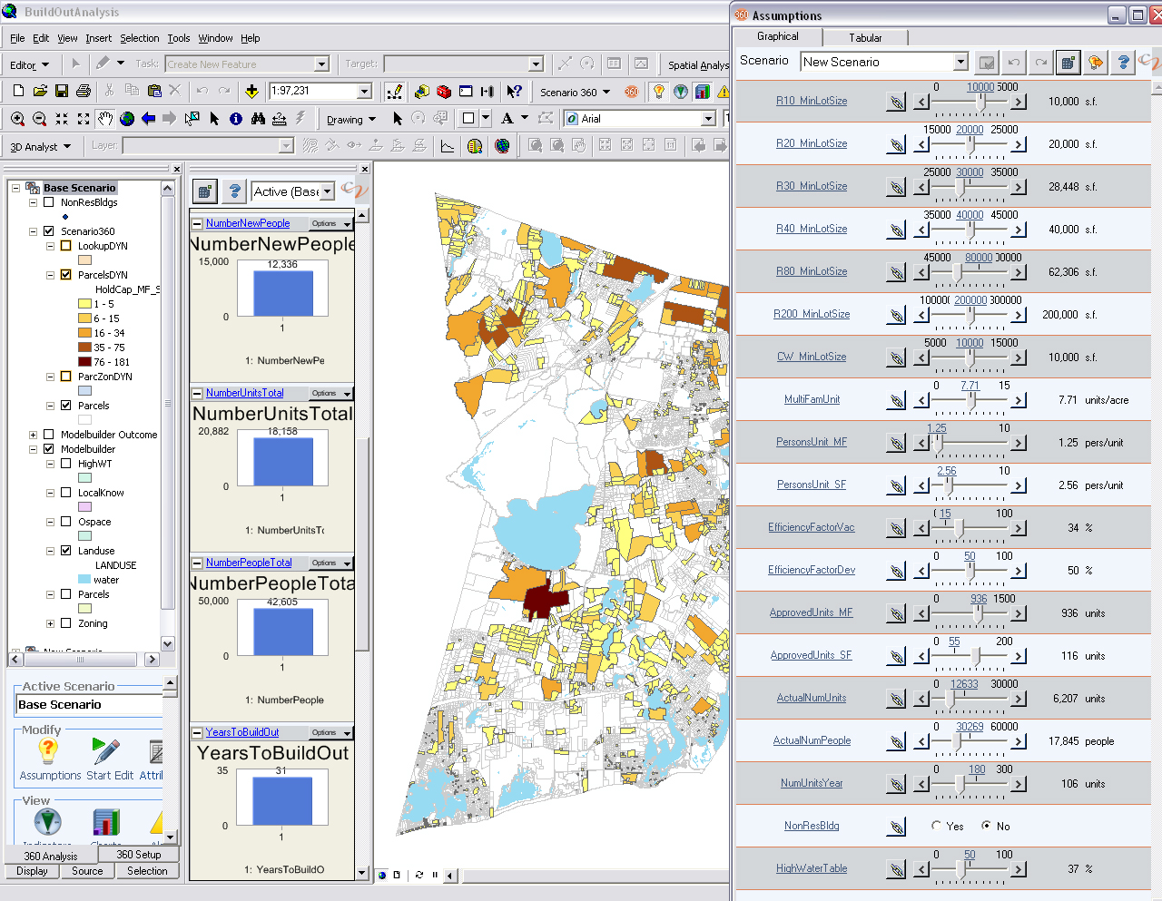
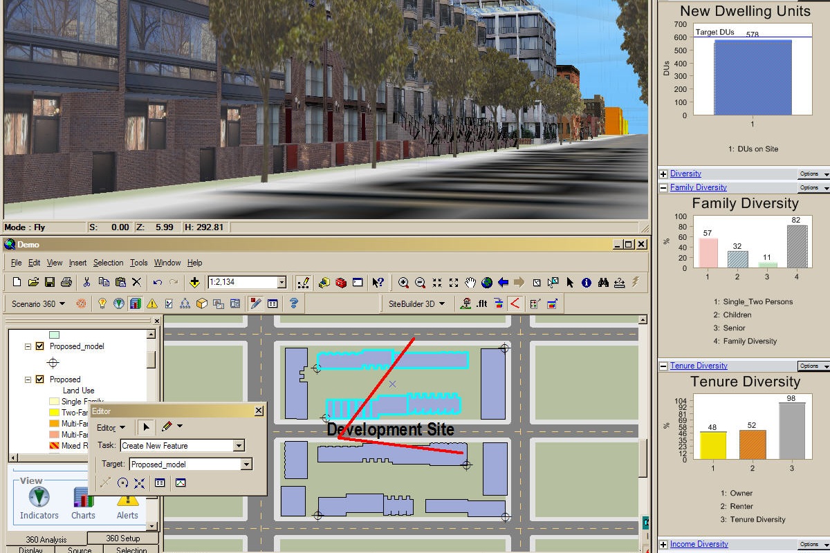
CommunityViz (2002): The first integrated digital scenario planning and design software built on a GIS database with a real-time immersive 3D visual simulations tied to the database and scenarios.
NYC Zoning Resolution (1994): Initial project to use digital real-time simulation and collaborative decision-making to develop NYC Zoning Resolution's Tower-on-a-Base zoning regulations with representatives of the affected Community Boards, Real Estate Board, and the Department of City Planning.
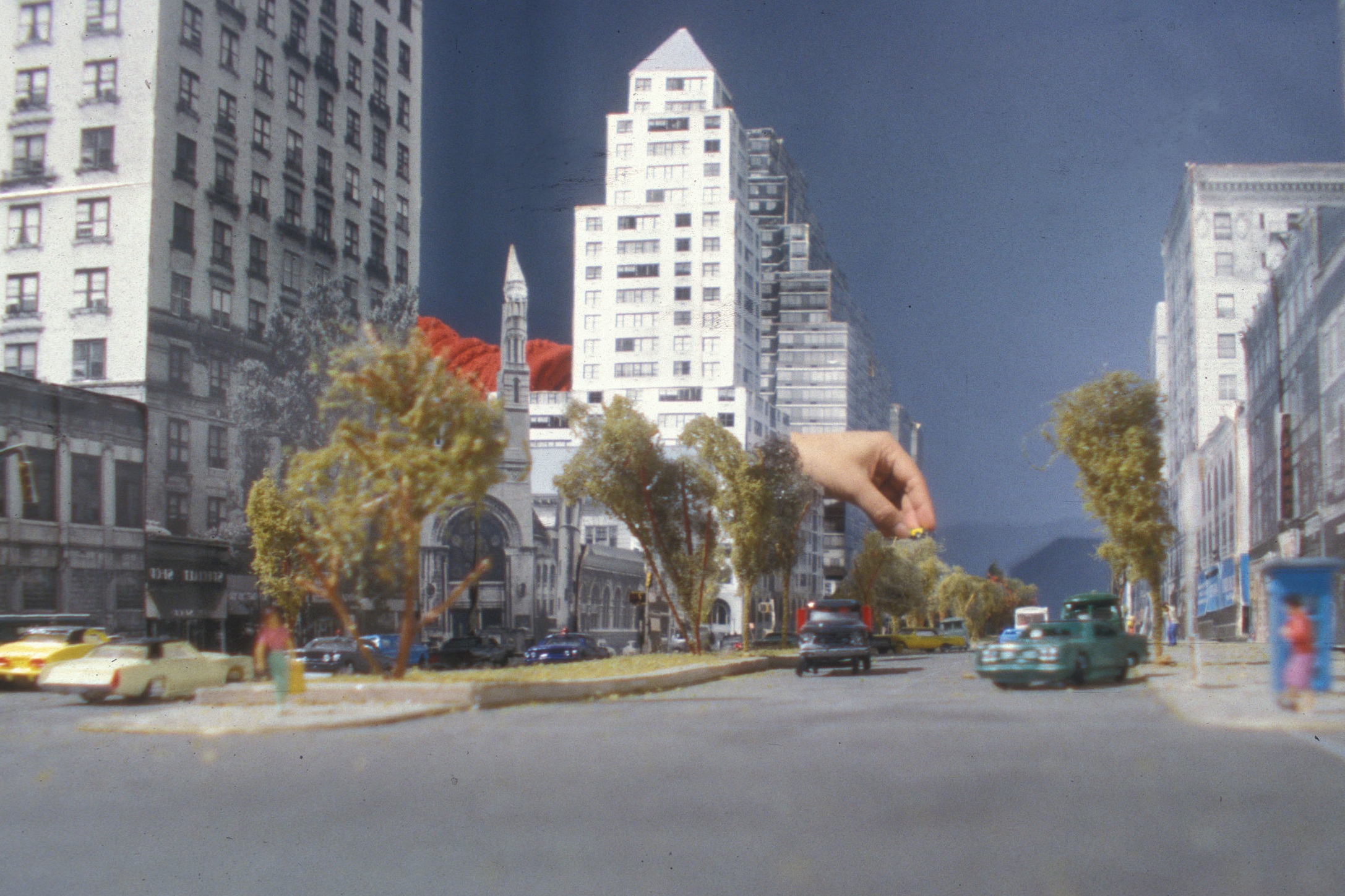
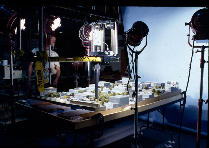
Special Lincoln Square District (1993): Initial project using physical, photoreal models, a moving optical prob and robotics system to visualize dynamically and side by side the zoning alternatives.
Lower Manhattan NY, NY (1992): The first 3D GIS of Lower Manhattan with protocols, a detailed and accurate 3D model of Lower Manhattaan and database.
ESC/New School for Social Research (1991): The J.M. Kaplan Fund, the Charles Revson Foundation, and the Andy Warhol Foundation established the Environmental Simulation Center at the New School where the ESC would function as an honest broker and not take positions on what it models in NYC. Using advanced simulation and information technology, the ESC was uniquely qualified to create a neutral setting for the protagonists to reach consensus on contentious land-use issues.
Given the limited capacity of computers in 1992 to do “real-time” 3D simulation, the ESC initial simulation technology employed an optical probe on a gantry powered by robotics software and photo-real physical modes for the protagonists to experience alternatives while moving along the sidewalk
Prior to the Establishment of the ESC
The Urban Design Council, under the direction of Michael Kwartler, FAIA, developed the first performance-based Housing Quality Zoning adopted by NYC. Housing Quality Zoning's ("HQZ") performance-based system consisted of 26 program elements organized into four interrelated programs: Neighborhood Impact, Recreation Space, Security and Safety, and Building Interior. Unlike conventional and Form-Based zoning HQZ does not predetermine the form of the development but rather delineates the problem to be solved, e.g., the proposed development into its context. It is the forerunner of Quality Housing Zoning.
Kwartler/Jones developed Midtown Zoning's performance-based Height and Setback regulations based on daylight standard derived from an analysis of the 80 year old history of zoning in Midtown. Kwartler/Jones were consultants to NYC Department of City Planning (adopted 1981).
Michael Kwartler and Associates' : "Preserving Sunlight in New York City's Parks: A Zoning Proposal," (1991): Prepared a report for the Parks Council describing an as-of-right site and orientation specific zoning methodologies to conserve existing sunlight and limit additional shadowing of NYC's parks, playgrounds and publicly accessible open space.
Michael Kwartler and Associates' : "Building in Your Own Backyard: Affordable Land for Affordable Housing," (1990): The report identified unused floor area on NYC Housing Authority estates to create new Affordable Housing in low to mid-rise infill housing to re-integrate the Tower-in-the-Park housing estates into their context.






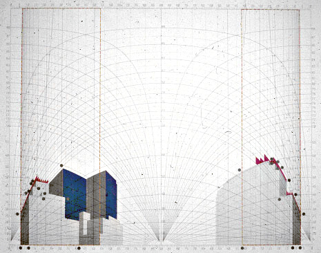


Kona, HI (2007): Developed and employed the data and maps, realtime visualization, GIS, scenario planning in conjunction with a methodology for public involvement and decision making for the Kona Region Comprehensive Plan with Gianni Longo.