Making Complex Information Accessible/Sensible: IT and Visualization
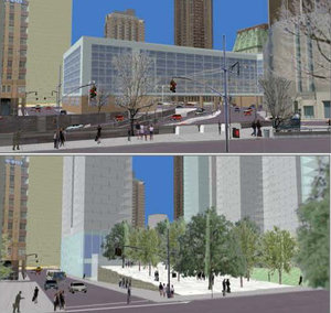
"CommunityViz is unique in that it fully integrates the words, numbers, maps, and images that planners and designers traditionally use for planning purposes int one, real-time, multidimensional environment. This is achieved by enabling ArcView GIS to modify data on the fly, linking it to real-time photo-realistic 3-D visualizations, and adding the fourth dimension (time) through the use of agent-based predictive modeling. In doing so, all types of data become mutually accountable to each other and the impacts of alternative planning scenarios and designs can be evaluated on the fly."
Kwartler, Michael & Bernard, Robert R. “ Section 2 - Visualization and Scenario Construction / CommunityViz: an integrated planning support system. In: Brail, R.K., Klosterman, R.E. (Eds.),Planning Support Systems: Integrating Geographic Information Systems and Visualization Tools, ESRI Press, Redlands, CA. pp. 285-308.


